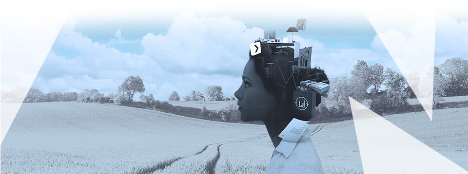
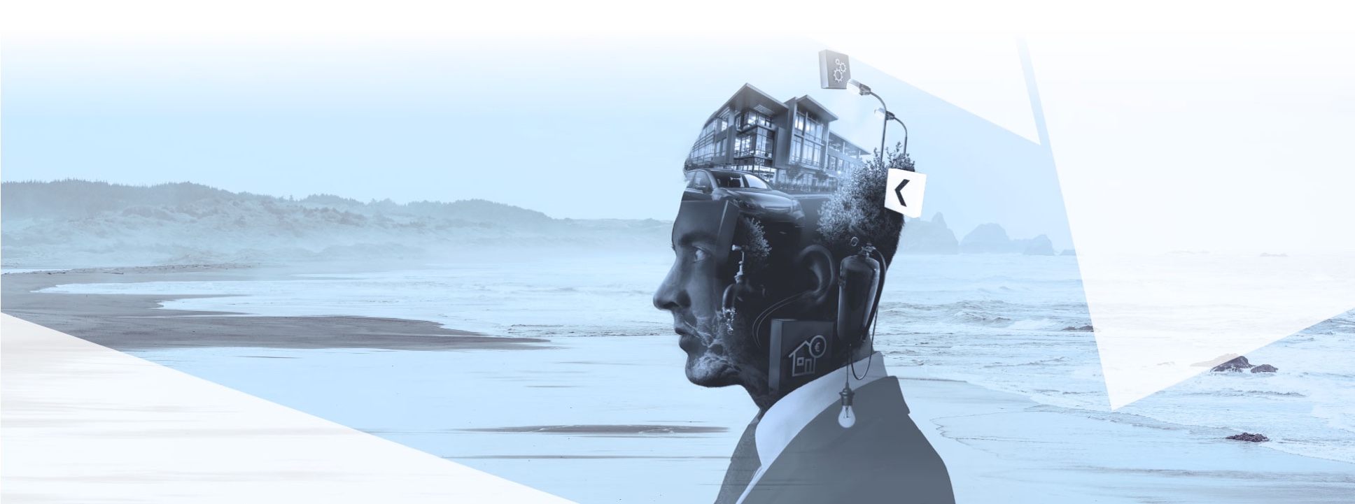
Digitale Lösungen für Daten und Prozesse
Die Digitalisierung, Automatisierung und Optimierung von Prozessen wie Instandhaltung, Bauprojekt– und Mietmanagement, Budgetplanung etc., ist aus dem strategischen Immobilienmanagement nicht mehr wegzudenken. Sie ist unverzichtbarer Bestandteil nachhaltigen Managements und seit über 25 Jahren zentrale Leistung der Keßler Real Estate Solutions GmbH. Zum Unternehmensportfolio gehören die CAFM-Softwarelösung FAMOS, die mobilen Möglichkeiten mit FAMOSweb und Apps sowie ein breites Angebots an Beratungs- und Serviceleistungen für die ganzheitliche Bearbeitung von Projekten.
Digitalisierung
Nutzen Sie die Chancen des digitalen Wandels, technischer Innovationen und vernetzter Prozesse.
Prozessoptimierung
Potentiale identifizieren. Lösungen entwickeln. Technologien implementieren. Mehrwert schaffen.
Digitaler Zwilling
Gestalten Sie professionell & wirtschaftlich Prozesse mit der Vernetzung von Building Information Modeling (BIM) und CAFM.
CAFM-Software
Digitalisieren und vereinfachen Sie Ihre FM-Prozesse. Effektiv, innovativ und nachhaltig.
Alle Kataloge nach GEFMA 444 und mehr.
Webportal
Digitalisierung, Automatisierung und Optimierung Ihrer Prozesse – einfach von unterwegs und inkl. App.
Beratung
Entdecken Sie ein umfassendes Dienstleistungs- und Partnernetzwerk für das perfekte Full-Service-Feeling.
Leistungsportfolio
Keßler Solutions stellt Ihnen ganzheitliche Lösungen für Ihr Daten- und Prozessmanagement zur Verfügung.
Bauprojekt-Management
Organisieren Sie effizient und transparent Ihre Sanierungs- und Instandhaltungsprojekte.
Instandhaltungs-System
Stellen Sie sich den Herausforderungen von Wartung, Instandhaltung und Störungsmanagement.
Arbeitssicherheit
Nehmen Sie rechtssicher und prozessoptimiert die Themen Arbeits- & Gesundheitsschutz und Betreiberverantwortung wahr.
Mietmanagement
Optimieren Sie nachhaltig Kosten- und Verwaltungsaufwände und die Qualität Ihres Mietmanagements.
CAD & CADflow
Organisieren Sie Ihre Gebäude-, Flächen- und Betriebsmitteldaten übersichtlich, effektiv und nachhaltig.
BIMflow
Begeben Sie sich mit der bidirektionalen Schnittstelle BIMlflow auf den Weg zum BIM-konformen Betrieb.
TGA-Erfassung
Erfassen und bewerten Sie alle relevanten Daten Ihrer Anlagen und Technologien (Technische Gebäudeausrüstung).
Ausschreibungen
Managen Sie Ihre Ausschreibungs-Prozesse ab der Konzeption einfach, erfolgreich und nachhaltig.
Auditierungen
Führen Sie qualifizierte Auditierungen und Zertifizierungen Ihrer Geschäfts- und FM-Prozesse durch.
Energiemanagement
Optimieren Sie Ihr Energie- und Umweltmanagement nachhaltig, smart und effizient.
WORAUF SIE SICH VERLASSEN KÖNNEN
Seit 25 Jahren lautet die Mission die nachhaltige Digitalisierung und Automatisierung Ihrer Daten und Prozesse. Dafür bieten wir Ihnen praxiserprobte, innovative und nutzerfreundliche Lösungen. Unser Team begeistert mit Kreativität und Flexibilität. Als Full-Service-Partner bieten wir Ihnen ein umfassendes Leistungsportfolio von Anfang an.
Wir ermöglichen Ihnen den Start in Ihre digitale Zukunft – und machen Ihren Kopf frei!
Entdecken Sie hier unsere Unternehmensbroschüre (pdf)!
Erfahren Sie hier mehr über die Lösungen von Keßler Solutions:
Potentiale der Digitalisierung nutzen.
Die Digitalisierung von Daten und Prozessen ermöglicht Ihnen strategische Entscheidungen und zukunftsfähige Konzepte.
Vorteile eines CAFM-Full-Service.
Keßler Solutions steht seit 25 Jahren für Kompetenz in CAFM. Erfahren Sie hier mehr zu den Vorteilen unserer Lösungen.
Lernen Sie das System und uns kennen.
Zwei dutzend kostenfreie Webinare stehen Ihnen offen: Vom groben Überblick bis zu Detailfragen der Bewirtschaftung.